Exploring the beauty and wonder of the world around us!
GiS G2 had lots of fun getting to know the features of the world we live in social studies class! Students learned that landforms are the different physical features of the Earth’s surface. Students could all agree that Earth as we know it wouldn’t be as magnificent as it is without these landforms. With the help of the G2 teacher Ms. Erika, students are now knowledgeable about important world landforms such as hills, mountains, valleys, plateaus, canyons, islands, ponds and rivers.
After students could distinguish and explain the differences between the landforms they had studied, it was time to move onto fun craft and map making activities! These activities were a great chance to reinforce what the students had learned, and use some new skills the children had picked up in previous social studies classes. In September, students had learned about cardinal directions, maps, and map keys.
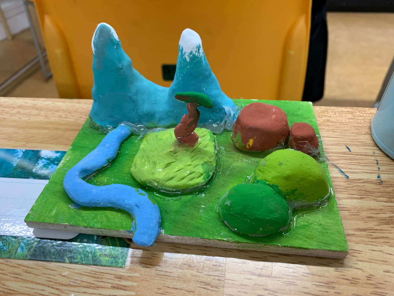
For the craft activity, students chose 5 landforms that they would create in a model. Next, students made a model of their 5 landforms using paper clay and then painted them. They loved creating their very own mini world! Finally, students drew and coloured an accurate map of their landform model. Students included cardinal directions and a map key that viewers could use to read the map. G2 did excellent work with their map and model. Nice work, G2 students!